Farmland west of Witton Gilbert
Introduction
The photograph on this page of Farmland west of Witton Gilbert by Pauline E as part of the Geograph project.
The Geograph project started in 2005 with the aim of publishing, organising and preserving representative images for every square kilometre of Great Britain, Ireland and the Isle of Man.

There are currently over 7.5m images from over 14,400 individuals and you can help contribute to the project by visiting https://www.geograph.org.uk
Farmland west of Witton Gilbert
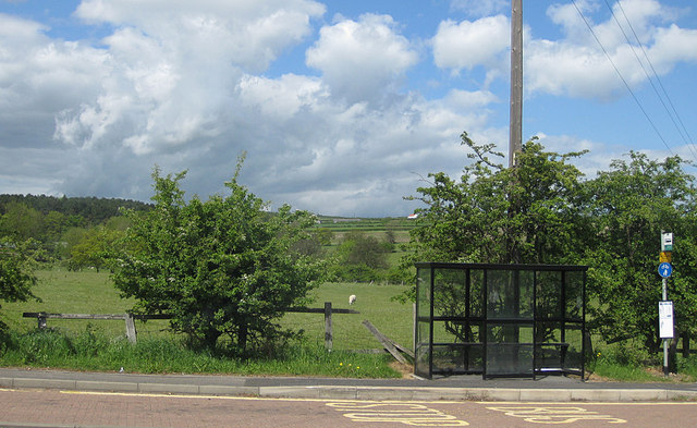
Image: © Pauline E Taken: 1 Jun 2013
Land rising towards Charlaw Fell.
Images are licensed for reuse under creativecommons.org/licenses/by-sa/2.0
Image Location
Latitude
54.807934
Longitude
-1.657692