Shared path at Enfield Island Village
Introduction
The photograph on this page of Shared path at Enfield Island Village by Malc McDonald as part of the Geograph project.
The Geograph project started in 2005 with the aim of publishing, organising and preserving representative images for every square kilometre of Great Britain, Ireland and the Isle of Man.

There are currently over 7.5m images from over 14,400 individuals and you can help contribute to the project by visiting https://www.geograph.org.uk
Shared path at Enfield Island Village
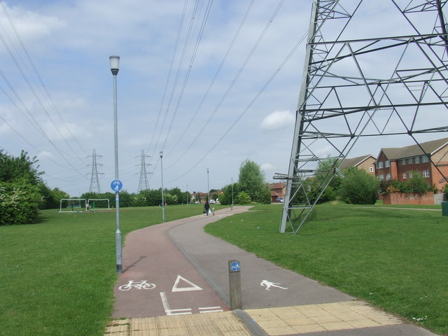
Image: © Malc McDonald Taken: 1 Jun 2013
Signs indicate that this path is shared by pedestrians and cyclists. It forms part of National Cycle Network route 1, which stretches up the east side of Britain from Dover to the Shetland Islands.
Images are licensed for reuse under creativecommons.org/licenses/by-sa/2.0
Image Location
Latitude
51.665879
Longitude
-0.014826