Harwell Field from The Winaway
Introduction
The photograph on this page of Harwell Field from The Winaway by Des Blenkinsopp as part of the Geograph project.
The Geograph project started in 2005 with the aim of publishing, organising and preserving representative images for every square kilometre of Great Britain, Ireland and the Isle of Man.

There are currently over 7.5m images from over 14,400 individuals and you can help contribute to the project by visiting https://www.geograph.org.uk
Harwell Field from The Winaway
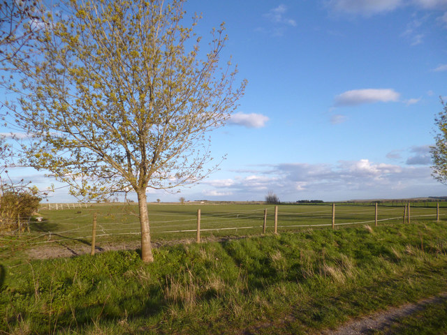
Image: © Des Blenkinsopp Taken: 29 Apr 2013
The Winaway is an unsurfaced track leading towards the Downs south of Harwell village. Harwell Field is a rather featureless flat piece of land, still part of the Downs, but lower than the main scarp.
Images are licensed for reuse under creativecommons.org/licenses/by-sa/2.0
Image Location
Latitude
51.589675
Longitude
-1.301751