Five Weirs Walk, Attercliffe
Introduction
The photograph on this page of Five Weirs Walk, Attercliffe by Stephen McKay as part of the Geograph project.
The Geograph project started in 2005 with the aim of publishing, organising and preserving representative images for every square kilometre of Great Britain, Ireland and the Isle of Man.

There are currently over 7.5m images from over 14,400 individuals and you can help contribute to the project by visiting https://www.geograph.org.uk
Five Weirs Walk, Attercliffe
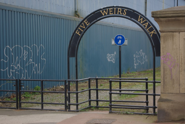
Image: © Stephen McKay Taken: 25 Feb 2007
The Five Weirs Walk, which was officially opened by the Lord Mayor of Sheffield in February 2007, runs for 8km between Sheffield city centre and Meadowhall alongside the River Don. At this point, leading off Newhall Road bridge, the path is sandwiched between the river and a large blue industrial building.
Images are licensed for reuse under creativecommons.org/licenses/by-sa/2.0
Image Location
Latitude
53.39774
Longitude
-1.432538