Heap Bridge: Emerald House and Bury New Road
Introduction
The photograph on this page of Heap Bridge: Emerald House and Bury New Road by Dr Neil Clifton as part of the Geograph project.
The Geograph project started in 2005 with the aim of publishing, organising and preserving representative images for every square kilometre of Great Britain, Ireland and the Isle of Man.

There are currently over 7.5m images from over 14,400 individuals and you can help contribute to the project by visiting https://www.geograph.org.uk
Heap Bridge: Emerald House and Bury New Road
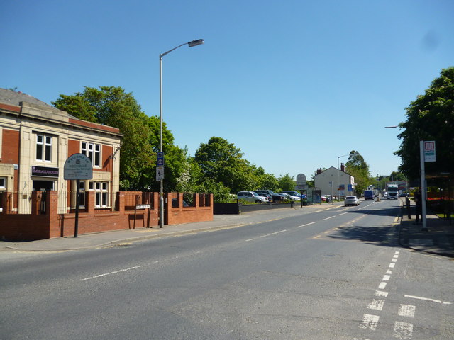
Image: © Dr Neil Clifton Taken: 4 Jun 2013
Heap Bridge is one of those pockets of urban Lancashire that have been hit very hard is the last few decades. On the left of this picture, there were two public houses, the 'Bridge Inn' and the old-established 'Old Boar's Head', now both demolished. Heap Bridge was an important paper manufacturing centre, but the paper mills have closed and mostly demolished as well. The railway goods station has vanished, and the railway itself is just a through run for the preserved East Lancashire line.
Images are licensed for reuse under creativecommons.org/licenses/by-sa/2.0
Image Location
Latitude
53.591138
Longitude
-2.268272