Eastern boundary of Bargoed
Introduction
The photograph on this page of Eastern boundary of Bargoed by Jaggery as part of the Geograph project.
The Geograph project started in 2005 with the aim of publishing, organising and preserving representative images for every square kilometre of Great Britain, Ireland and the Isle of Man.

There are currently over 7.5m images from over 14,400 individuals and you can help contribute to the project by visiting https://www.geograph.org.uk
Eastern boundary of Bargoed
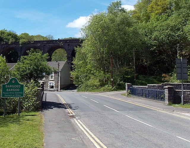
Image: © Jaggery Taken: 1 Jun 2013
After a very steep descent from Aberbargoed, Bedwellty Road reaches Bargoed. The boundary sign is on the east bank of the River Rhymney. Behind the houses in Bridge Street is Bargoed Viaduct. http://www.geograph.org.uk/photo/3493002
Images are licensed for reuse under creativecommons.org/licenses/by-sa/2.0
Image Location
Latitude
51.695084
Longitude
-3.230768