Confluence of the River Rhymney and Nant Bargod Rhymni, Bargoed
Introduction
The photograph on this page of Confluence of the River Rhymney and Nant Bargod Rhymni, Bargoed by Jaggery as part of the Geograph project.
The Geograph project started in 2005 with the aim of publishing, organising and preserving representative images for every square kilometre of Great Britain, Ireland and the Isle of Man.

There are currently over 7.5m images from over 14,400 individuals and you can help contribute to the project by visiting https://www.geograph.org.uk
Confluence of the River Rhymney and Nant Bargod Rhymni, Bargoed
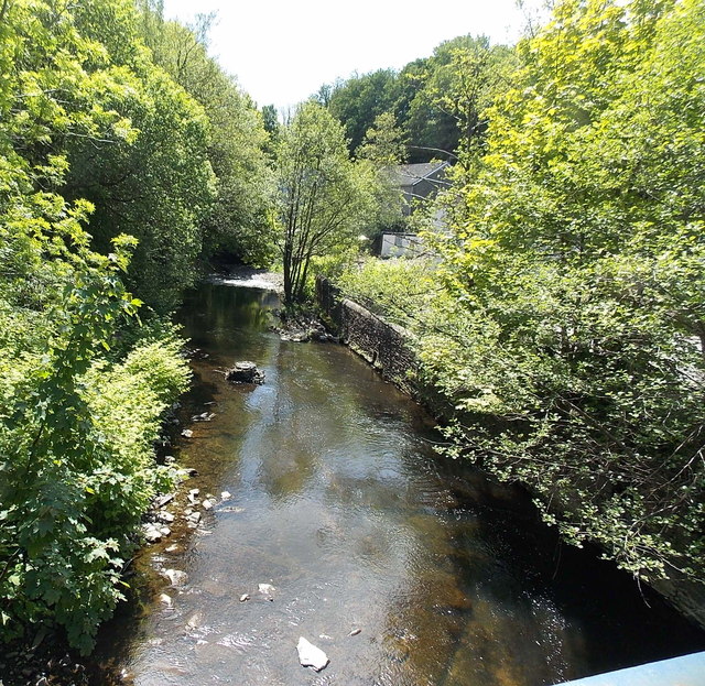
Image: © Jaggery Taken: 1 Jun 2013
A view south along the Rhymney from Bedwellty Road. The white water in the distance is where a stream, Nant Bargod Rhymni (or Nant Bargoed Rhymney) flows in from the right (west).
Images are licensed for reuse under creativecommons.org/licenses/by-sa/2.0
Image Location
Latitude
51.694727
Longitude
-3.230469