Lamplugh: St Michael's Parish Church, 1986
Introduction
The photograph on this page of Lamplugh: St Michael's Parish Church, 1986 by Ben Brooksbank as part of the Geograph project.
The Geograph project started in 2005 with the aim of publishing, organising and preserving representative images for every square kilometre of Great Britain, Ireland and the Isle of Man.

There are currently over 7.5m images from over 14,400 individuals and you can help contribute to the project by visiting https://www.geograph.org.uk
Lamplugh: St Michael's Parish Church, 1986
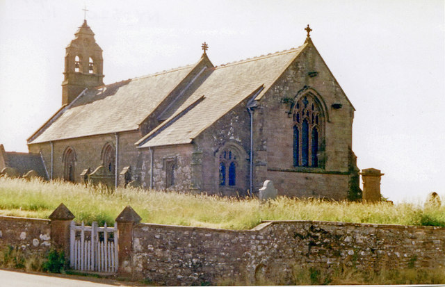
Image: © Ben Brooksbank Taken: 8 Jul 1986
View SW. (I could not resist uploading my shot too, as I was Lord of the Manor and the family grave is round at the back - see also Image]).
Images are licensed for reuse under creativecommons.org/licenses/by-sa/2.0
Image Location
Latitude
54.574076
Longitude
-3.411696