Bridge to Penygraig
Introduction
The photograph on this page of Bridge to Penygraig by Bill Boaden as part of the Geograph project.
The Geograph project started in 2005 with the aim of publishing, organising and preserving representative images for every square kilometre of Great Britain, Ireland and the Isle of Man.

There are currently over 7.5m images from over 14,400 individuals and you can help contribute to the project by visiting https://www.geograph.org.uk
Bridge to Penygraig
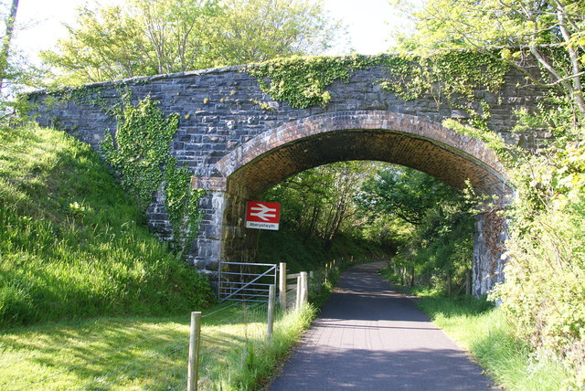
Image: © Bill Boaden Taken: 26 May 2013
This was a former railway bridge, over what is now the Ystwyth Trail. One wonders why there is a BR sign for Aberystwyth when it is still a couple of miles away.
Images are licensed for reuse under creativecommons.org/licenses/by-sa/2.0
Image Location
Latitude
52.385657
Longitude
-4.075267