Turning circle on the old road at Llanfarian
Introduction
The photograph on this page of Turning circle on the old road at Llanfarian by Bill Boaden as part of the Geograph project.
The Geograph project started in 2005 with the aim of publishing, organising and preserving representative images for every square kilometre of Great Britain, Ireland and the Isle of Man.

There are currently over 7.5m images from over 14,400 individuals and you can help contribute to the project by visiting https://www.geograph.org.uk
Turning circle on the old road at Llanfarian
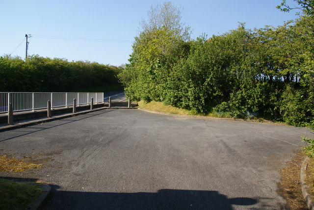
Image: © Bill Boaden Taken: 26 May 2013
This became a dead end when the A487, just visible below left, was re-engineered.
Images are licensed for reuse under creativecommons.org/licenses/by-sa/2.0
Image Location
Latitude
52.383118
Longitude
-4.071327