The Border at Drumnahavil
Introduction
The photograph on this page of The Border at Drumnahavil by Dean Molyneaux as part of the Geograph project.
The Geograph project started in 2005 with the aim of publishing, organising and preserving representative images for every square kilometre of Great Britain, Ireland and the Isle of Man.

There are currently over 7.5m images from over 14,400 individuals and you can help contribute to the project by visiting https://www.geograph.org.uk
The Border at Drumnahavil
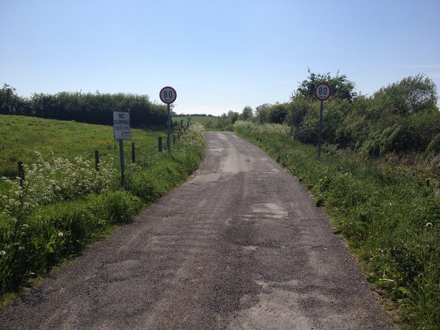
Image: © Dean Molyneaux Taken: 4 Jun 2013
The UK/ROI border at Drumnahavil (County Armagh), looking towards the County Monaghan townland of Drumgallan. Note the fine of £800 - a figure in Irish Punts, which was replaced by Euros in 2002.
Images are licensed for reuse under creativecommons.org/licenses/by-sa/2.0
Image Location
Latitude
54.197508
Longitude
-6.754913