Cumnor Heights
Introduction
The photograph on this page of Cumnor Heights by Dave Price as part of the Geograph project.
The Geograph project started in 2005 with the aim of publishing, organising and preserving representative images for every square kilometre of Great Britain, Ireland and the Isle of Man.

There are currently over 7.5m images from over 14,400 individuals and you can help contribute to the project by visiting https://www.geograph.org.uk
Cumnor Heights
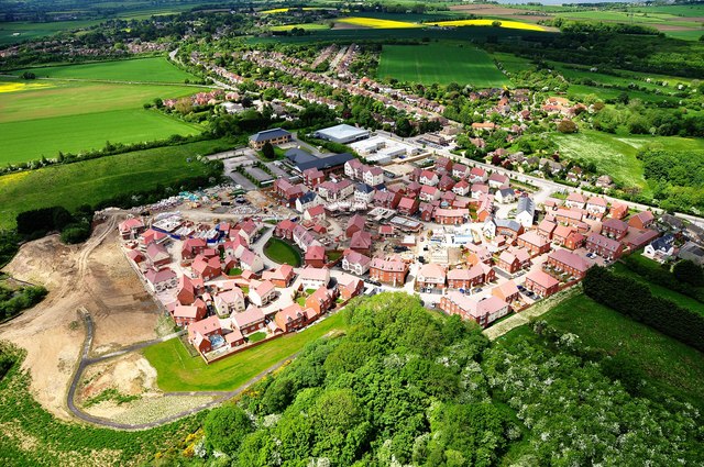
Image: © Dave Price Taken: 2 Jun 2013
New housing development at the top of Cumnor Hill, on the site of the old timber yard, Timbmets.
Images are licensed for reuse under creativecommons.org/licenses/by-sa/2.0
Image Location
Latitude
51.736498
Longitude
-1.316