North Mill
Introduction
The photograph on this page of North Mill by Derek Harper as part of the Geograph project.
The Geograph project started in 2005 with the aim of publishing, organising and preserving representative images for every square kilometre of Great Britain, Ireland and the Isle of Man.

There are currently over 7.5m images from over 14,400 individuals and you can help contribute to the project by visiting https://www.geograph.org.uk
North Mill
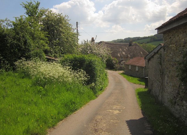
Image: © Derek Harper Taken: 25 May 2013
Mill Lane passes North Mill Farm. The thatched farmhouse is early C17 http://list.english-heritage.org.uk/resultsingle.aspx?uid=1170841&searchtype=mapsearch . Just out of sight on the right is a disused watermill http://list.english-heritage.org.uk/resultsingle.aspx?uid=1333600&searchtype=mapsearch .
Images are licensed for reuse under creativecommons.org/licenses/by-sa/2.0
Image Location
Latitude
50.830318
Longitude
-3.054097