Reduce speed now, Llyswen
Introduction
The photograph on this page of Reduce speed now, Llyswen by Jaggery as part of the Geograph project.
The Geograph project started in 2005 with the aim of publishing, organising and preserving representative images for every square kilometre of Great Britain, Ireland and the Isle of Man.

There are currently over 7.5m images from over 14,400 individuals and you can help contribute to the project by visiting https://www.geograph.org.uk
Reduce speed now, Llyswen
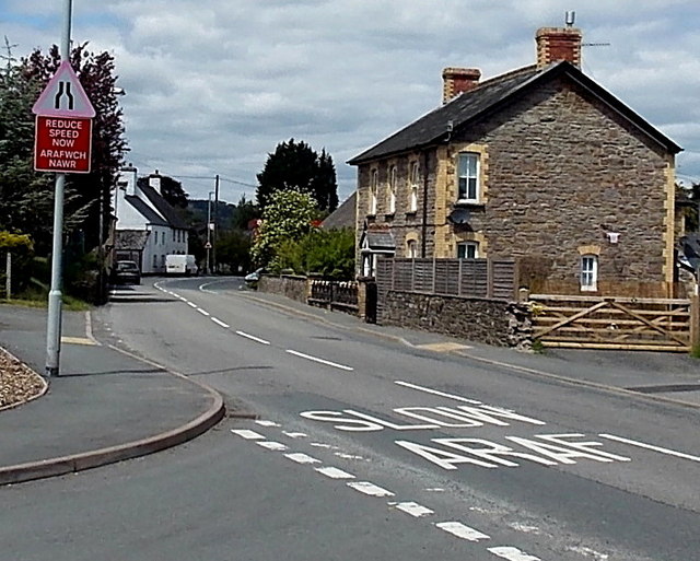
Image: © Jaggery Taken: 2 Jun 2013
Viewed from the corner of Llys Meillion http://www.geograph.org.uk/photo/3493522 looking along the A479 towards the centre of the village.
Images are licensed for reuse under creativecommons.org/licenses/by-sa/2.0
Image Location
Latitude
52.032348
Longitude
-3.264937