The Hadrian's Wall Path approaching Bowness-on-Solway
Introduction
The photograph on this page of The Hadrian's Wall Path approaching Bowness-on-Solway by David Purchase as part of the Geograph project.
The Geograph project started in 2005 with the aim of publishing, organising and preserving representative images for every square kilometre of Great Britain, Ireland and the Isle of Man.

There are currently over 7.5m images from over 14,400 individuals and you can help contribute to the project by visiting https://www.geograph.org.uk
The Hadrian's Wall Path approaching Bowness-on-Solway
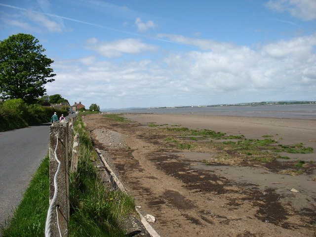
Image: © David Purchase Taken: 2 Jun 2013
If walked from east to west, the Hadrian's Wall Path ends at Bowness-on-Solway. For the last mile or so from Port Carlisle Image walkers have no option but to use the minor road.
Images are licensed for reuse under creativecommons.org/licenses/by-sa/2.0
Image Location
Latitude
54.953911
Longitude
-3.209174