Field at Hornshayes Knap Cross
Introduction
The photograph on this page of Field at Hornshayes Knap Cross by Derek Harper as part of the Geograph project.
The Geograph project started in 2005 with the aim of publishing, organising and preserving representative images for every square kilometre of Great Britain, Ireland and the Isle of Man.

There are currently over 7.5m images from over 14,400 individuals and you can help contribute to the project by visiting https://www.geograph.org.uk
Field at Hornshayes Knap Cross
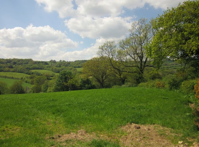
Image: © Derek Harper Taken: 25 May 2013
Looking to the left from the stretch of lane shown in Image], with the road to Hornshayes Bridge curving down past trees into the Corry Brook valley.
Images are licensed for reuse under creativecommons.org/licenses/by-sa/2.0
Image Location
Latitude
50.833071
Longitude
-3.087246