Corry Brook above Millhayes
Introduction
The photograph on this page of Corry Brook above Millhayes by Derek Harper as part of the Geograph project.
The Geograph project started in 2005 with the aim of publishing, organising and preserving representative images for every square kilometre of Great Britain, Ireland and the Isle of Man.

There are currently over 7.5m images from over 14,400 individuals and you can help contribute to the project by visiting https://www.geograph.org.uk
Corry Brook above Millhayes
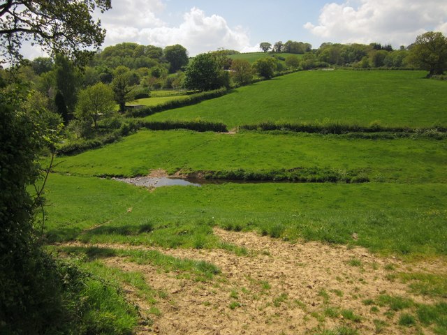
Image: © Derek Harper Taken: 25 May 2013
This view across the valley from Mill Lane shows the mill leat for Millhayes Mill, running along the hillside above the stream.
Images are licensed for reuse under creativecommons.org/licenses/by-sa/2.0
Image Location
Latitude
50.829558
Longitude
-3.087874