Site of St.Paul's church
Introduction
The photograph on this page of Site of St.Paul's church by Richard Croft as part of the Geograph project.
The Geograph project started in 2005 with the aim of publishing, organising and preserving representative images for every square kilometre of Great Britain, Ireland and the Isle of Man.

There are currently over 7.5m images from over 14,400 individuals and you can help contribute to the project by visiting https://www.geograph.org.uk
Site of St.Paul's church
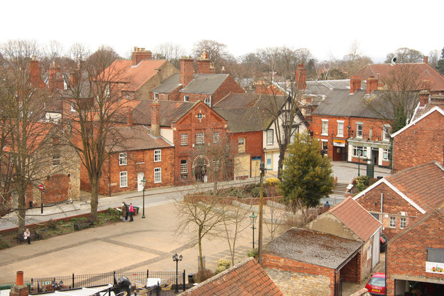
Image: © Richard Croft Taken: 30 Mar 2013
The setts in the open space indicate the site of St.Paul's church, with Westgate and Bailgate beyond. Seen from Cob Hall in Lincoln Castle.
Images are licensed for reuse under creativecommons.org/licenses/by-sa/2.0
Image Location
Latitude
53.235625
Longitude
-0.539313