Ruins of Brambletye House, Forest Row
Introduction
The photograph on this page of Ruins of Brambletye House, Forest Row by David Kemp as part of the Geograph project.
The Geograph project started in 2005 with the aim of publishing, organising and preserving representative images for every square kilometre of Great Britain, Ireland and the Isle of Man.

There are currently over 7.5m images from over 14,400 individuals and you can help contribute to the project by visiting https://www.geograph.org.uk
Ruins of Brambletye House, Forest Row
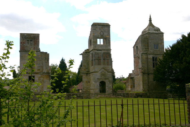
Image: © David Kemp Taken: 3 Jun 2013
Other Geographers have managed to get more atmospheric images of Brambletye than mine but this is how its ruins looked on a sunny afternoon in early June. Brambletye was built in 1631 in an Elizabethan-Jacobean style but seems to have become a ruin by the 1830s.
Images are licensed for reuse under creativecommons.org/licenses/by-sa/2.0
Image Location
Latitude
51.10048
Longitude
0.02299