Boustead Hill
Introduction
The photograph on this page of Boustead Hill by David Purchase as part of the Geograph project.
The Geograph project started in 2005 with the aim of publishing, organising and preserving representative images for every square kilometre of Great Britain, Ireland and the Isle of Man.

There are currently over 7.5m images from over 14,400 individuals and you can help contribute to the project by visiting https://www.geograph.org.uk
Boustead Hill
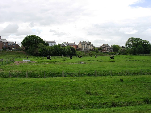
Image: © David Purchase Taken: 1 Jun 2013
Beside the Solway Firth, a small village 10 metres above Mean Sea Level can well justify the word 'Hill' in its name.
Images are licensed for reuse under creativecommons.org/licenses/by-sa/2.0
Image Location
Latitude
54.921659
Longitude
-3.104135