East Harptree Road benchmark
Introduction
The photograph on this page of East Harptree Road benchmark by Neil Owen as part of the Geograph project.
The Geograph project started in 2005 with the aim of publishing, organising and preserving representative images for every square kilometre of Great Britain, Ireland and the Isle of Man.

There are currently over 7.5m images from over 14,400 individuals and you can help contribute to the project by visiting https://www.geograph.org.uk
East Harptree Road benchmark
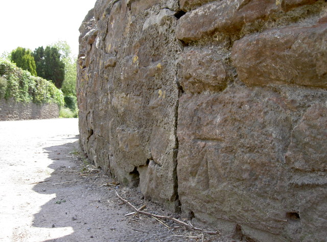
Image: © Neil Owen Taken: 3 Jun 2013
Leading from the junction at the east end of West Harptree is this cutmark; see http://www.bench-marks.org.uk/bm48856 for the entry in the Benchmark Database.
Images are licensed for reuse under creativecommons.org/licenses/by-sa/2.0
Image Location
Latitude
51.308889
Longitude
-2.63004