Graig Terrace houses, Bargoed
Introduction
The photograph on this page of Graig Terrace houses, Bargoed by Jaggery as part of the Geograph project.
The Geograph project started in 2005 with the aim of publishing, organising and preserving representative images for every square kilometre of Great Britain, Ireland and the Isle of Man.

There are currently over 7.5m images from over 14,400 individuals and you can help contribute to the project by visiting https://www.geograph.org.uk
Graig Terrace houses, Bargoed
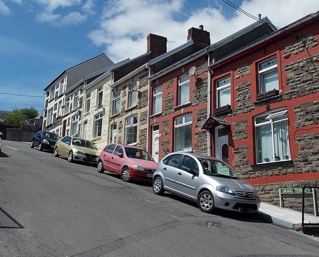
Image: © Jaggery Taken: 1 Jun 2013
Viewed from the Bristol Terrace end looking up towards Usk Road. The houses face the south side of this http://www.geograph.org.uk/photo/3491762 church. There are no gradient signs here. I estimate that Graig Terrace ascends 14 metres in 70 metres, for a 1 in 5 or 20% gradient.
Images are licensed for reuse under creativecommons.org/licenses/by-sa/2.0
Image Location
Latitude
51.693712
Longitude
-3.232901