Bristol Terrace, Bargoed
Introduction
The photograph on this page of Bristol Terrace, Bargoed by Jaggery as part of the Geograph project.
The Geograph project started in 2005 with the aim of publishing, organising and preserving representative images for every square kilometre of Great Britain, Ireland and the Isle of Man.

There are currently over 7.5m images from over 14,400 individuals and you can help contribute to the project by visiting https://www.geograph.org.uk
Bristol Terrace, Bargoed
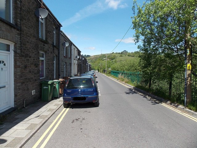
Image: © Jaggery Taken: 1 Jun 2013
There are houses on only one side of Bristol Terrace. The green fence on the right is at the edge of a steep bank descending towards Bargoed railway station.
Images are licensed for reuse under creativecommons.org/licenses/by-sa/2.0
Image Location
Latitude
51.693371
Longitude
-3.231155