Newbrook Farm
Introduction
The photograph on this page of Newbrook Farm by Jonathan Billinger as part of the Geograph project.
The Geograph project started in 2005 with the aim of publishing, organising and preserving representative images for every square kilometre of Great Britain, Ireland and the Isle of Man.

There are currently over 7.5m images from over 14,400 individuals and you can help contribute to the project by visiting https://www.geograph.org.uk
Newbrook Farm
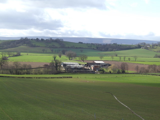
Image: © Jonathan Billinger Taken: 26 Feb 2007
As the clouds parted to spotlight the farm in the natural bowl of the Grey Valley. This is a little known part of west Herefordshire with the view over to the 'wall' of the Hatterall Ridge marking the English-Welsh border.
Images are licensed for reuse under creativecommons.org/licenses/by-sa/2.0
Image Location
Latitude
51.999339
Longitude
-2.869399