End of the 30mph speed limit at the NW edge of Markham
Introduction
The photograph on this page of End of the 30mph speed limit at the NW edge of Markham by Jaggery as part of the Geograph project.
The Geograph project started in 2005 with the aim of publishing, organising and preserving representative images for every square kilometre of Great Britain, Ireland and the Isle of Man.

There are currently over 7.5m images from over 14,400 individuals and you can help contribute to the project by visiting https://www.geograph.org.uk
End of the 30mph speed limit at the NW edge of Markham
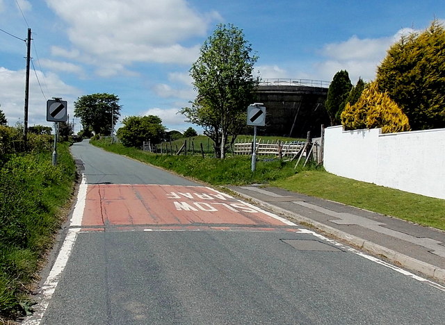
Image: © Jaggery Taken: 1 Jun 2013
Viewed along Heol-y-Bedw-Hirion near the Cherry Trees http://www.geograph.org.uk/photo/3491312 turning. In the background, centre right, is a large water storage tank. http://www.geograph.org.uk/photo/3491304
Images are licensed for reuse under creativecommons.org/licenses/by-sa/2.0
Image Location
Latitude
51.70499
Longitude
-3.211934