Heywood: The 'Horse and Jockey'
Introduction
The photograph on this page of Heywood: The 'Horse and Jockey' by Dr Neil Clifton as part of the Geograph project.
The Geograph project started in 2005 with the aim of publishing, organising and preserving representative images for every square kilometre of Great Britain, Ireland and the Isle of Man.

There are currently over 7.5m images from over 14,400 individuals and you can help contribute to the project by visiting https://www.geograph.org.uk
Heywood: The 'Horse and Jockey'
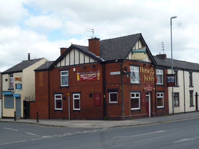
Image: © Dr Neil Clifton Taken: 2 Jun 2013
Thankfully the 'Jockey' is still open. Everyone is aware that pubs are closing all over the country. What is not so well-known is the fact that in Lancashire and Yorkshire former mill-towns, the loss can be over 60% and up to 80% is some grid squares, (SD 8912 in Rochdale, for example).
Images are licensed for reuse under creativecommons.org/licenses/by-sa/2.0
Image Location
Latitude
53.593005
Longitude
-2.235348