Main Street, Gawcott - view to West
Introduction
The photograph on this page of Main Street, Gawcott - view to West by Rob Farrow as part of the Geograph project.
The Geograph project started in 2005 with the aim of publishing, organising and preserving representative images for every square kilometre of Great Britain, Ireland and the Isle of Man.

There are currently over 7.5m images from over 14,400 individuals and you can help contribute to the project by visiting https://www.geograph.org.uk
Main Street, Gawcott - view to West
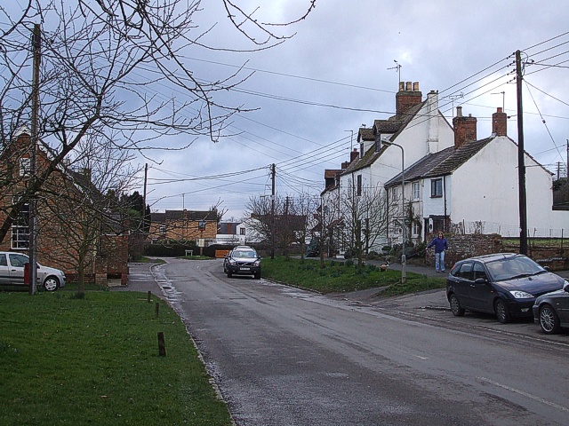
Image: © Rob Farrow Taken: 23 Feb 2007
A view down the main village street (helpfully called Main Street) in Gawcott. The churchyard of Image] is behind a wall immediately to the left (south) of the photographer's position. (Cf. Image])
Images are licensed for reuse under creativecommons.org/licenses/by-sa/2.0
Image Location
Latitude
51.981148
Longitude
-1.012338