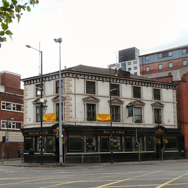
Bulls Head
Introduction
The photograph on this page of Bulls Head by Gerald England as part of the Geograph project.
The Geograph project started in 2005 with the aim of publishing, organising and preserving representative images for every square kilometre of Great Britain, Ireland and the Isle of Man.
There are currently over 7.5m images from over 14,400 individuals and you can help contribute to the project by visiting https://www.geograph.org.uk

Image: © Gerald England Taken: 1 Jun 2013
The Bulls Head sits on the corner of London Road and Fairfield Street. Today it is a Marston's pub but during its life it has also been affiliated with both Wilson's and Burtonwood. Image It has been suggested that the pub dates from 1786 but surprisingly it doesn't appear an 1849 map of the area, but is shown on an 1851 map. Links to old photographs can be found on the Pubs of Manchester site http://pubs-of-manchester.blogspot.co.uk/2010/01/2-bulls-head.html

