Farm track
Introduction
The photograph on this page of Farm track by Alec MacKinnon as part of the Geograph project.
The Geograph project started in 2005 with the aim of publishing, organising and preserving representative images for every square kilometre of Great Britain, Ireland and the Isle of Man.

There are currently over 7.5m images from over 14,400 individuals and you can help contribute to the project by visiting https://www.geograph.org.uk
Farm track
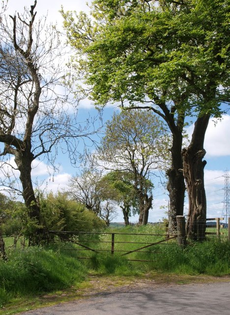
Image: © Alec MacKinnon Taken: 2 Jun 2013
The track starts from a sharp bend on the public road. It is bordered by a hedgerow and a sparse row of trees.
Images are licensed for reuse under creativecommons.org/licenses/by-sa/2.0
Image Location
Latitude
55.756629
Longitude
-4.266087