Boy's Lane, Stromness
Introduction
The photograph on this page of Boy's Lane, Stromness by Andy Farrington as part of the Geograph project.
The Geograph project started in 2005 with the aim of publishing, organising and preserving representative images for every square kilometre of Great Britain, Ireland and the Isle of Man.

There are currently over 7.5m images from over 14,400 individuals and you can help contribute to the project by visiting https://www.geograph.org.uk
Boy's Lane, Stromness
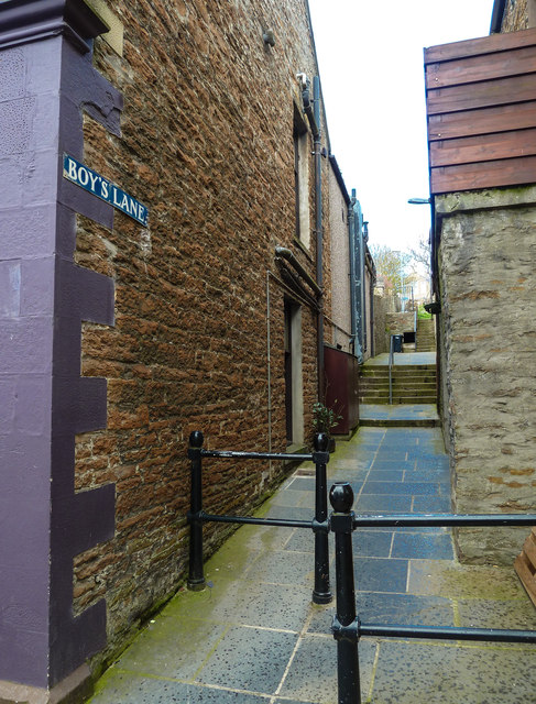
Image: © Andy Farrington Taken: 16 May 2013
One of the many small lanes off the main street through Stromness.
Images are licensed for reuse under creativecommons.org/licenses/by-sa/2.0
Image Location
Latitude
58.962735
Longitude
-3.299163