Ipswich IP2, Suffolk.
Introduction
The photograph on this page of Ipswich IP2, Suffolk. by David Hallam-Jones as part of the Geograph project.
The Geograph project started in 2005 with the aim of publishing, organising and preserving representative images for every square kilometre of Great Britain, Ireland and the Isle of Man.

There are currently over 7.5m images from over 14,400 individuals and you can help contribute to the project by visiting https://www.geograph.org.uk
Ipswich IP2, Suffolk.
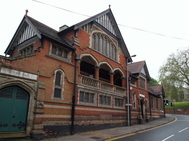
Image: © David Hallam-Jones Taken: 28 May 2013
An interesting building (perhaps a 'function venue' now?) on Burrell Road, with St Mary's (Grade I listed) Anglican church in Old Stoke in the background. Access into the city - via Stoke Bridge - lies several minutes away behind the photographer.
Images are licensed for reuse under creativecommons.org/licenses/by-sa/2.0
Image Location
Latitude
52.050806
Longitude
1.153193