Velindra House
Introduction
The photograph on this page of Velindra House by Neil Owen as part of the Geograph project.
The Geograph project started in 2005 with the aim of publishing, organising and preserving representative images for every square kilometre of Great Britain, Ireland and the Isle of Man.

There are currently over 7.5m images from over 14,400 individuals and you can help contribute to the project by visiting https://www.geograph.org.uk
Velindra House
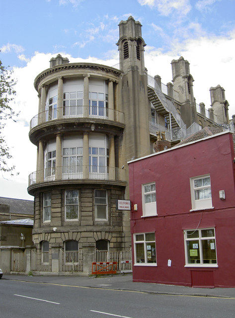
Image: © Neil Owen Taken: 22 May 2013
This unassuming little boozer is somewhat dwarfed by the extensions to the old Bristol General Hospital behind it. However, it is still serving (unlike so many others). The Velindra is said to have been named after a vessel that used to ply its trade along the New Cut in days gone by.
Images are licensed for reuse under creativecommons.org/licenses/by-sa/2.0
Image Location
Latitude
51.446386
Longitude
-2.59308