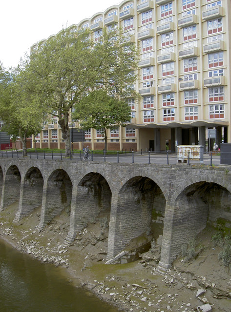
The New Cut at low tide
Introduction
The photograph on this page of The New Cut at low tide by Neil Owen as part of the Geograph project.
The Geograph project started in 2005 with the aim of publishing, organising and preserving representative images for every square kilometre of Great Britain, Ireland and the Isle of Man.
There are currently over 7.5m images from over 14,400 individuals and you can help contribute to the project by visiting https://www.geograph.org.uk

Image: © Neil Owen Taken: 22 May 2013
The New Cut was hand-dug out of the south Bristol area in the early 1800s to allow the River Avon to carry on its tidal rise and fall whilst the old rivercourse was turned into the Floating Harbour. Here are some of the supporting buttresses in front of the large block of flats of Waring and Francombe House.

