Towards Humberstone
Introduction
The photograph on this page of Towards Humberstone by Andrew Tatlow as part of the Geograph project.
The Geograph project started in 2005 with the aim of publishing, organising and preserving representative images for every square kilometre of Great Britain, Ireland and the Isle of Man.

There are currently over 7.5m images from over 14,400 individuals and you can help contribute to the project by visiting https://www.geograph.org.uk
Towards Humberstone
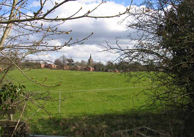
Image: © Andrew Tatlow Taken: 18 Apr 2013
The tower and spire of St Mary Humberstone is a guide towards the original village of Humberstone which is now lost in the midst of the housing projects of the 20th century and beyond.
Images are licensed for reuse under creativecommons.org/licenses/by-sa/2.0
Image Location
Latitude
52.648582
Longitude
-1.076303