Westacott Way
Introduction
The photograph on this page of Westacott Way by Alan Hunt as part of the Geograph project.
The Geograph project started in 2005 with the aim of publishing, organising and preserving representative images for every square kilometre of Great Britain, Ireland and the Isle of Man.

There are currently over 7.5m images from over 14,400 individuals and you can help contribute to the project by visiting https://www.geograph.org.uk
Westacott Way
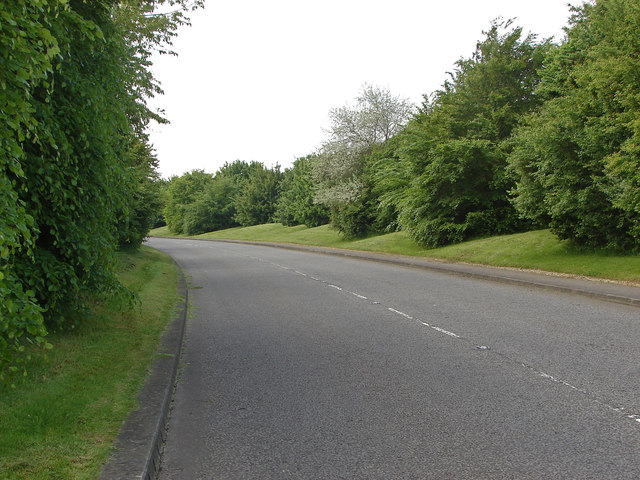
Image: © Alan Hunt Taken: 31 May 2013
The access road from the A4, bath road to the Maidenhead Business Park next to White Waltham airfield.
Images are licensed for reuse under creativecommons.org/licenses/by-sa/2.0
Image Location
Latitude
51.506539
Longitude
-0.778546