The Calderdale Way approaching Lumb Lane
Introduction
The photograph on this page of The Calderdale Way approaching Lumb Lane by Humphrey Bolton as part of the Geograph project.
The Geograph project started in 2005 with the aim of publishing, organising and preserving representative images for every square kilometre of Great Britain, Ireland and the Isle of Man.

There are currently over 7.5m images from over 14,400 individuals and you can help contribute to the project by visiting https://www.geograph.org.uk
The Calderdale Way approaching Lumb Lane
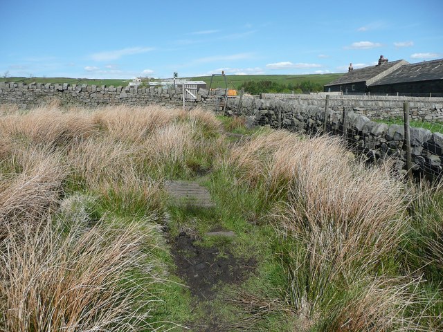
Image: © Humphrey Bolton Taken: 25 May 2013
A wet part of this long-distance path, but a board-walk crosses the worst section. This is Halifax FP 135.
Images are licensed for reuse under creativecommons.org/licenses/by-sa/2.0
Image Location
Latitude
53.75878
Longitude
-1.933529