Pump Farm
Introduction
The photograph on this page of Pump Farm by Dennis Turner as part of the Geograph project.
The Geograph project started in 2005 with the aim of publishing, organising and preserving representative images for every square kilometre of Great Britain, Ireland and the Isle of Man.

There are currently over 7.5m images from over 14,400 individuals and you can help contribute to the project by visiting https://www.geograph.org.uk
Pump Farm
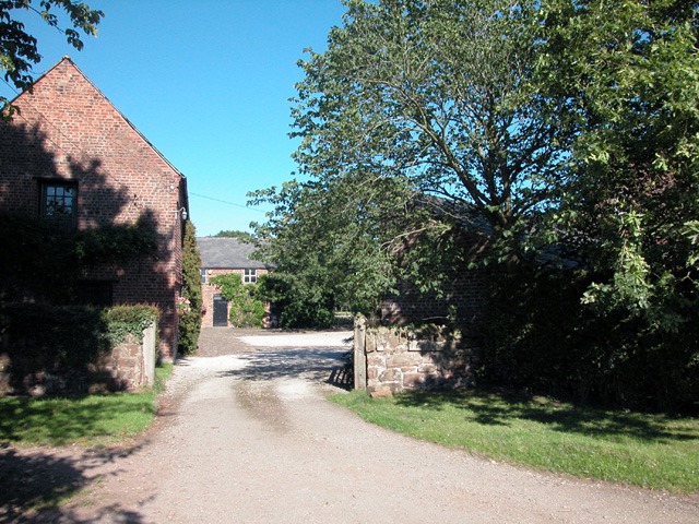
Image: © Dennis Turner Taken: 7 Aug 2005
Farmhouse in Gordon Lane close to the hospice in Backford village. A barn at the farm is Grade 2 listed on the British Listed Buildings site http://www.britishlistedbuildings.co.uk/en-55392-barn-at-pump-farm-backford-/osmap The contributor is obliged to Ian M Carter of Malaysia for advising that the farm had been previously been incorrectly identified as Fairfield farm.
Images are licensed for reuse under creativecommons.org/licenses/by-sa/2.0
Image Location


Leaflet Map data © OpenStreetMap
Latitude
53.242505
Longitude
-2.902036