Ipswich IP1, Suffolk.
Introduction
The photograph on this page of Ipswich IP1, Suffolk. by David Hallam-Jones as part of the Geograph project.
The Geograph project started in 2005 with the aim of publishing, organising and preserving representative images for every square kilometre of Great Britain, Ireland and the Isle of Man.

There are currently over 7.5m images from over 14,400 individuals and you can help contribute to the project by visiting https://www.geograph.org.uk
Ipswich IP1, Suffolk.
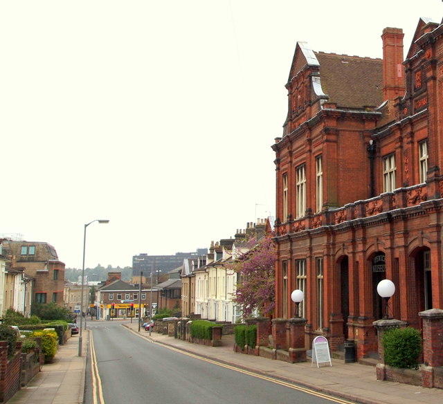
Image: © David Hallam-Jones Taken: 28 May 2013
The A1156 (the St Matthew's Street/Crown Street continuation) is seen here at the foot of High Street, with the museum on the right.
Images are licensed for reuse under creativecommons.org/licenses/by-sa/2.0
Image Location
Latitude
52.060579
Longitude
1.150964