Farm loading bay between Waytown & Salwayash
Introduction
The photograph on this page of Farm loading bay between Waytown & Salwayash by Stephen Williams as part of the Geograph project.
The Geograph project started in 2005 with the aim of publishing, organising and preserving representative images for every square kilometre of Great Britain, Ireland and the Isle of Man.

There are currently over 7.5m images from over 14,400 individuals and you can help contribute to the project by visiting https://www.geograph.org.uk
Farm loading bay between Waytown & Salwayash
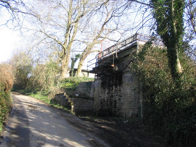
Image: © Stephen Williams Taken: 26 Feb 2007
This solidly-built stone structure appears to be some sort of loading bay for farm produce. Presumably a vehicle would pull into the lay-by and produce would be dropped through the hoppers into the back. The land at the top of the embankment is shown on the map as an orchard, but I can't see this loading method being very kind to fruit. Anybody know more about this?
Images are licensed for reuse under creativecommons.org/licenses/by-sa/2.0
Image Location
Latitude
50.77247
Longitude
-2.755828