1-4 The Square, Windlesham House School
Introduction
The photograph on this page of 1-4 The Square, Windlesham House School by Simon Carey as part of the Geograph project.
The Geograph project started in 2005 with the aim of publishing, organising and preserving representative images for every square kilometre of Great Britain, Ireland and the Isle of Man.

There are currently over 7.5m images from over 14,400 individuals and you can help contribute to the project by visiting https://www.geograph.org.uk
1-4 The Square, Windlesham House School
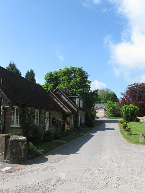
Image: © Simon Carey Taken: 27 May 2013
These flint cottages seem to date from the end of the 19th century to serve what was then Highden House. A lot of the outbuildings that once served the former house have now been converted to residential use though I am uncertain whether all are connected with the school. The name, The Square, first appears on post war maps.
Images are licensed for reuse under creativecommons.org/licenses/by-sa/2.0
Image Location
Latitude
50.890558
Longitude
-0.418654