Low Carr Farm
Introduction
The photograph on this page of Low Carr Farm by Gordon Hatton as part of the Geograph project.
The Geograph project started in 2005 with the aim of publishing, organising and preserving representative images for every square kilometre of Great Britain, Ireland and the Isle of Man.

There are currently over 7.5m images from over 14,400 individuals and you can help contribute to the project by visiting https://www.geograph.org.uk
Low Carr Farm
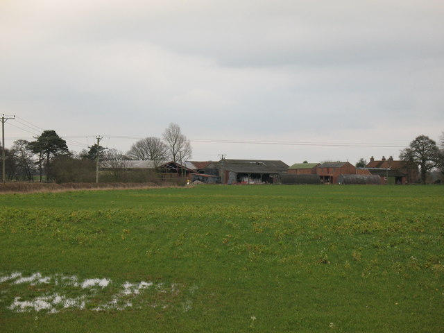
Image: © Gordon Hatton Taken: 25 Feb 2007
A mixture of brick, timber and corrugated iron buildings grouped around a farmhouse in the Vale of York.
Images are licensed for reuse under creativecommons.org/licenses/by-sa/2.0
Image Location
Latitude
54.054716
Longitude
-1.074885