Calverton NG14, Notts.
Introduction
The photograph on this page of Calverton NG14, Notts. by David Hallam-Jones as part of the Geograph project.
The Geograph project started in 2005 with the aim of publishing, organising and preserving representative images for every square kilometre of Great Britain, Ireland and the Isle of Man.

There are currently over 7.5m images from over 14,400 individuals and you can help contribute to the project by visiting https://www.geograph.org.uk
Calverton NG14, Notts.
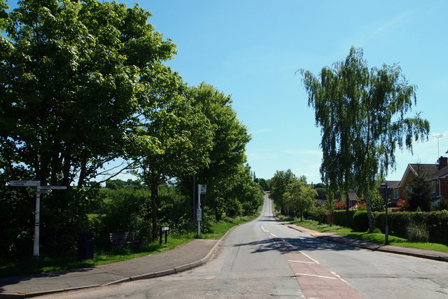
Image: © David Hallam-Jones Taken: 26 May 2013
Bonner Hill from the point on this T junction where Main Street becomes Bonner Lane. Further along this road Bonner Hill becomes Foxwood Lane, a road that in turn leads to the village of Woodborough.
Images are licensed for reuse under creativecommons.org/licenses/by-sa/2.0
Image Location
Latitude
53.03533
Longitude
-1.077606