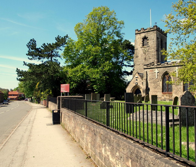
Calverton NG14, Notts.
Introduction
The photograph on this page of Calverton NG14, Notts. by David Hallam-Jones as part of the Geograph project.
The Geograph project started in 2005 with the aim of publishing, organising and preserving representative images for every square kilometre of Great Britain, Ireland and the Isle of Man.
There are currently over 7.5m images from over 14,400 individuals and you can help contribute to the project by visiting https://www.geograph.org.uk

Image: © David Hallam-Jones Taken: 26 May 2013
St Wilfrid's Church on Main Street looking towards the public library and the shopping precinct, St Wilfrid's Square. Domesday book records show the existence of a church on this site in 1086 although what users and visitors see today stems from the late C13th and C14th, with the nave and tower having been rebuilt in 1763 and the chancel in 1835. The building is Grade-II listed with Grade I upgrading currently being sought.

