Kinlochleven from north side of Loch Leven
Introduction
The photograph on this page of Kinlochleven from north side of Loch Leven by Chris Wilson as part of the Geograph project.
The Geograph project started in 2005 with the aim of publishing, organising and preserving representative images for every square kilometre of Great Britain, Ireland and the Isle of Man.

There are currently over 7.5m images from over 14,400 individuals and you can help contribute to the project by visiting https://www.geograph.org.uk
Kinlochleven from north side of Loch Leven
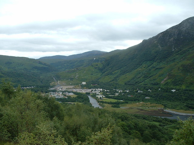
Image: © Chris Wilson Taken: 30 Jul 2005
A view of Kinlochleven looking South East taken from the Military Road to Fort William at the top of the climb up from sea level
Images are licensed for reuse under creativecommons.org/licenses/by-sa/2.0
Image Location
Latitude
56.711604
Longitude
-4.966915