Royal Avenue, Belfast (2013-1)
Introduction
The photograph on this page of Royal Avenue, Belfast (2013-1) by Albert Bridge as part of the Geograph project.
The Geograph project started in 2005 with the aim of publishing, organising and preserving representative images for every square kilometre of Great Britain, Ireland and the Isle of Man.

There are currently over 7.5m images from over 14,400 individuals and you can help contribute to the project by visiting https://www.geograph.org.uk
Royal Avenue, Belfast (2013-1)
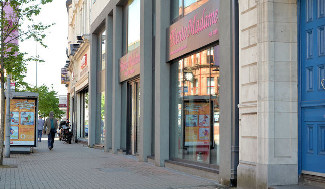
Image: © Albert Bridge Taken: 29 May 2013
The eastern side of Royal Avenue, between North Street and William Street, looking towards York Street. This is an area likely to change when Phase 3 of the “Streets Ahead” project is completed - this link http://www.geograph.org.uk/article/The-Streets-Ahead-project-Belfast-Phase-3 shows related photographs, in alphabetical order, by street or place name.
Images are licensed for reuse under creativecommons.org/licenses/by-sa/2.0
Image Location
Latitude
54.602462
Longitude
-5.931205