Butts
Introduction
The photograph on this page of Butts by Simon Carey as part of the Geograph project.
The Geograph project started in 2005 with the aim of publishing, organising and preserving representative images for every square kilometre of Great Britain, Ireland and the Isle of Man.

There are currently over 7.5m images from over 14,400 individuals and you can help contribute to the project by visiting https://www.geograph.org.uk
Butts
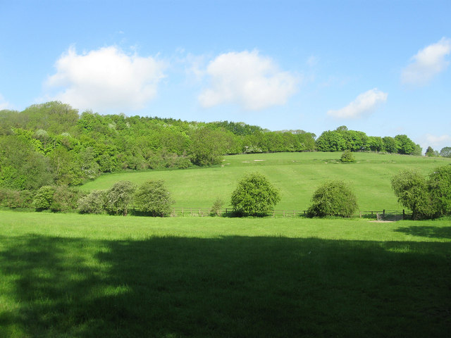
Image: © Simon Carey Taken: 27 May 2013
The name of the field according to Washington's 1839 tithe map that lies adjacent to Washington Bostal, the old route of the A24. The current one lies beyond the tree cover at the top of the hill.
Images are licensed for reuse under creativecommons.org/licenses/by-sa/2.0
Image Location
Latitude
50.900602
Longitude
-0.409923