The Costicles/Inner Costicles
Introduction
The photograph on this page of The Costicles/Inner Costicles by Simon Carey as part of the Geograph project.
The Geograph project started in 2005 with the aim of publishing, organising and preserving representative images for every square kilometre of Great Britain, Ireland and the Isle of Man.

There are currently over 7.5m images from over 14,400 individuals and you can help contribute to the project by visiting https://www.geograph.org.uk
The Costicles/Inner Costicles
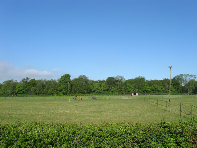
Image: © Simon Carey Taken: 27 May 2013
The name of the fields according to Washington's 1839 tithe map that have been joined together to make a larger unit. The Costicle was next to the bridleway whilst the Inner Costicles was adjacent to the small wood which was named as Rowdell Wood on the same tithe map though is nameless on OS maps.
Images are licensed for reuse under creativecommons.org/licenses/by-sa/2.0
Image Location
Latitude
50.90846
Longitude
-0.419043