Ducklington Duckpond
Introduction
The photograph on this page of Ducklington Duckpond by Dave Price as part of the Geograph project.
The Geograph project started in 2005 with the aim of publishing, organising and preserving representative images for every square kilometre of Great Britain, Ireland and the Isle of Man.

There are currently over 7.5m images from over 14,400 individuals and you can help contribute to the project by visiting https://www.geograph.org.uk
Ducklington Duckpond
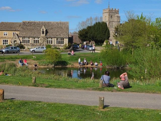
Image: © Dave Price Taken: 5 May 2013
On Fritillary Sunday (5 May 2013) when many folks come, almost like a pilgrimmage, to walk in a nearby field full of Snakeshead Fritillaries. St Bartholomew's Church is to the right, and the C of E Primary School, to the left.
Images are licensed for reuse under creativecommons.org/licenses/by-sa/2.0
Image Location


Leaflet Map data © OpenStreetMap
Latitude
51.765398
Longitude
-1.481917