Condlyffe Almshouses, Nos 1 and 2
Introduction
The photograph on this page of Condlyffe Almshouses, Nos 1 and 2 by Peter Barr as part of the Geograph project.
The Geograph project started in 2005 with the aim of publishing, organising and preserving representative images for every square kilometre of Great Britain, Ireland and the Isle of Man.

There are currently over 7.5m images from over 14,400 individuals and you can help contribute to the project by visiting https://www.geograph.org.uk
Condlyffe Almshouses, Nos 1 and 2
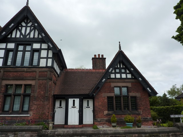
Image: © Peter Barr Taken: 29 May 2013
Each of the gable ends of these dwellings carries a text from the scriptures. The almshouses were built in 1882.
Images are licensed for reuse under creativecommons.org/licenses/by-sa/2.0
Image Location
Latitude
53.100746
Longitude
-2.024602