Junction
Introduction
The photograph on this page of Junction by Alan Walker as part of the Geograph project.
The Geograph project started in 2005 with the aim of publishing, organising and preserving representative images for every square kilometre of Great Britain, Ireland and the Isle of Man.

There are currently over 7.5m images from over 14,400 individuals and you can help contribute to the project by visiting https://www.geograph.org.uk
Junction
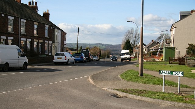
Image: © Alan Walker Taken: 26 Feb 2007
The photograph shows Rupert Street (looking in a northerly direction toward Parkhouse Green) at its junction with Image To see a more northerly (ahead) photograph of Rupert Street, click here Image To see a more southerly (some 75metres behind the viewpoint) photograph of Rupert Street, click here, Image
Images are licensed for reuse under creativecommons.org/licenses/by-sa/2.0
Image Location
Latitude
53.165908
Longitude
-1.376815